STAGE
/ STAGE /
STAGE 1 OITA STAGE

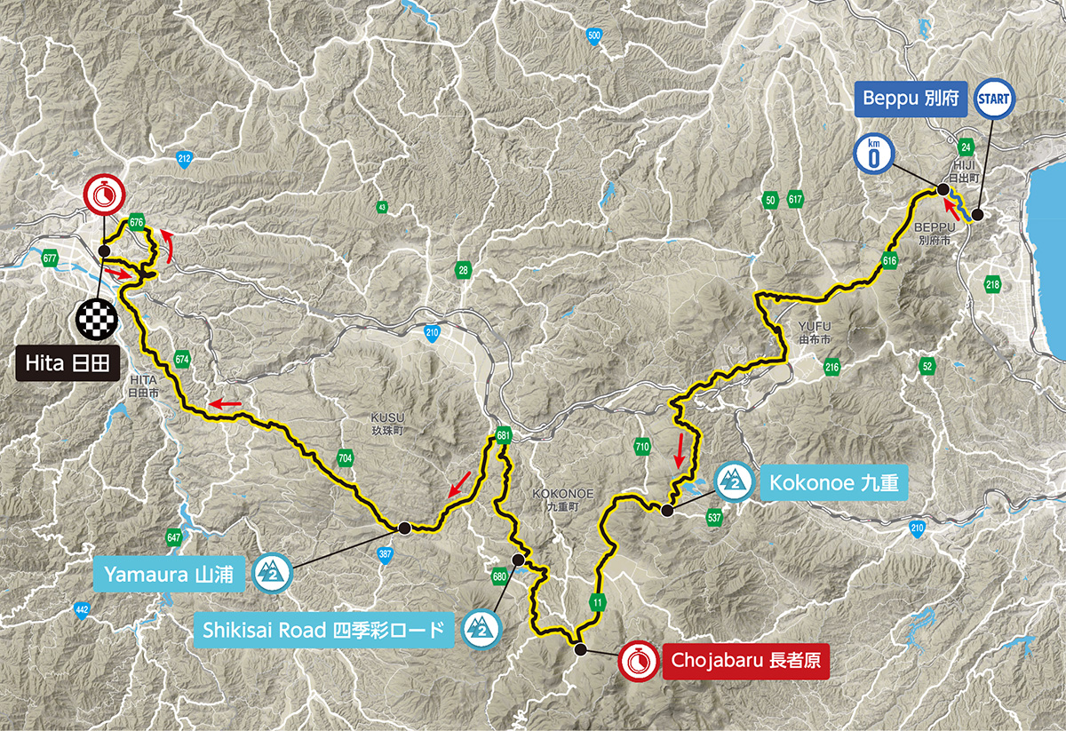
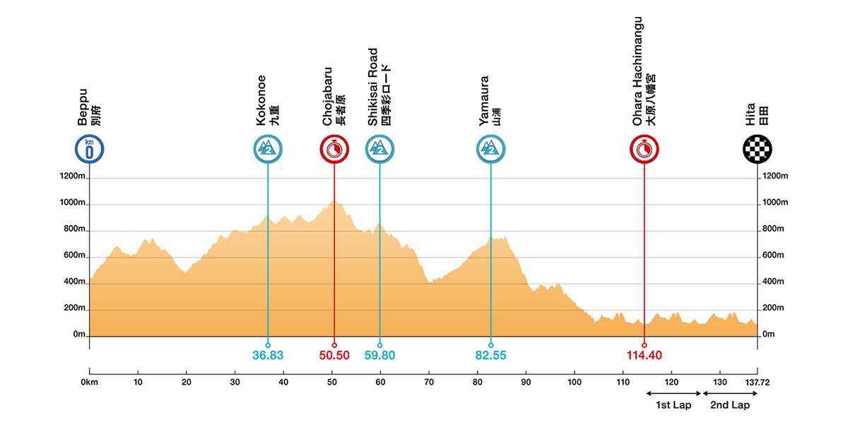
This year’s main race features a challenging course that runs through mountainous terrain from the very first day. Starting at Ritsumeikan Asia Pacific University in Beppu City, the race passes through the Yufuin hot springs area. The Yamanami Highway, one of Japan’s most renowned winding roads, hosts the Chojabaru Sprint Point, where riders’ strategies play out against a backdrop of majestic scenery. Midway through the race, three King of the Mountain (KOM) points are positioned, giving spectators the chance to witness the climbers' intense efforts up close. Upon entering Hita City, the riders complete two laps of a circuit that begins at Omiya Hachimangu Shrine. Will it be a successful solo breakaway, or a group sprint finish? We’re anticipating an intense showdown!
ELEVATION PROFILE
POINTS OF INTEREST
-

:START
-

:SPRINT
-

:POINTS OF INTEREST
-

:KOM
-

:FINISH
-
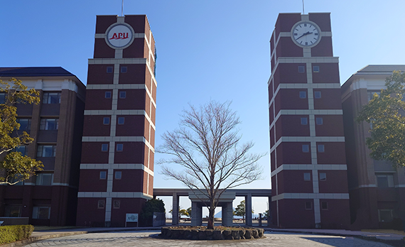
BEPPU(APU)
MAP- START
- 10:00
- AREA TRAFFIC REGULATION
- Approximately 9:15-10:30
- ACCESS
- Approximately 35 minutes by bus from Beppu Station
- PARKING LOT
- 120-200
- SHUTTLE BUS
- -
- BICYCLE PARKING
- -
-
-
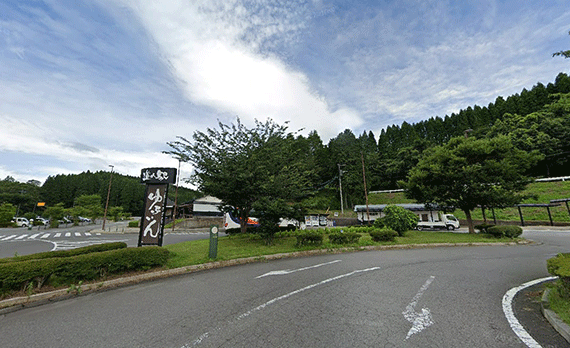
YUFUIN ROADSIDE STATION
MAP- ESTIMATED PASSING TIME
- 10:30-10:45
- AREA TRAFFIC REGULATION
- Approximately 9:30-11:30
- ACCESS
- -
- PARKING LOT
- 300-400
- SHUTTLE BUS
- Yufuin Sports Center ⇔ Yufuin Roadside Station
*Details to be announced at a later date. - BICYCLE PARKING
- About 6 spaces
-
-
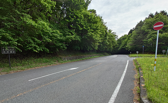
KOKONOE
MAP- ESTIMATED PASSING TIME
- 10:50-11:10
- AREA TRAFFIC REGULATION
- Approximately 9:45-11:45
- ACCESS
- -
- PARKING LOT
- -
- SHUTTLE BUS
- -
- BICYCLE PARKING
- -
-
-
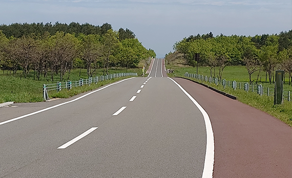
CHOJABARU
(REST HOUSE YAMANAMI PARKING LOT)MAP- ESTIMATED PASSING TIME
- 11:00-11:30
- AREA TRAFFIC REGULATION
- Approximately 10:15-12:00
- ACCESS
- -
- PARKING LOT
- 300-400
- SHUTTLE BUS
- -
- BICYCLE PARKING
- -
-
-
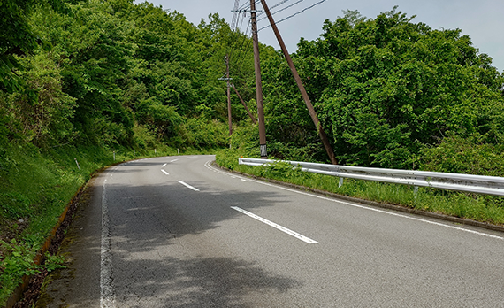
SHIKISAI ROAD
MAP- ESTIMATED PASSING TIME
- 11:20-11:50
- AREA TRAFFIC REGULATION
- Approximately 10:15-12:15
- ACCESS
- -
- PARKING LOT
- -
- SHUTTLE BUS
- -
- BICYCLE PARKING
- -
-
-
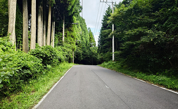
YAMAURA
MAP- ESTIMATED PASSING TIME
- 11:55-12:25
- AREA TRAFFIC REGULATION
- Approximately 10:45-12:45
- ACCESS
- -
- PARKING LOT
- -
- SHUTTLE BUS
- -
- BICYCLE PARKING
- -
-
-
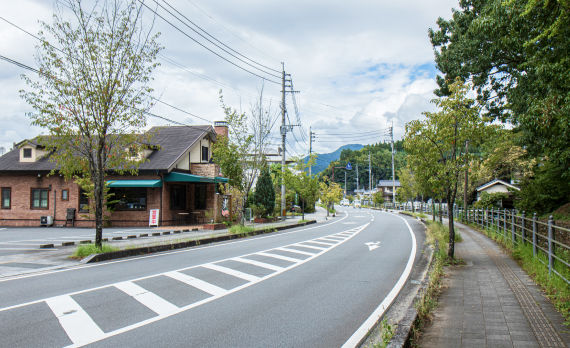
OHARA HACHIMANGU
MAP- ESTIMATED PASSING TIME
- 12:30-13:10
- AREA TRAFFIC REGULATION
- Approximately 11:30-13:45
- ACCESS
- 15-minute walk from JR Hita Station
- PARKING LOT
- Approximately 1,650 spaces near the finish area
- SHUTTLE BUS
- Nakanoshima Riverside Parking Lot ⇔ Hita City Hall
*Details to be announced at a later date. - BICYCLE PARKING
- -
-
-
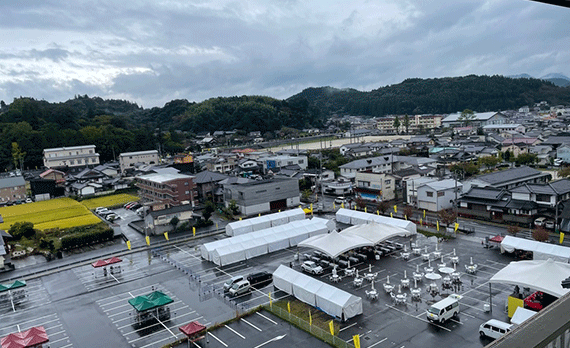
Hita City Hall
MAP- ESTIMATED PASSING TIME
- 12:30-13:30
- AREA TRAFFIC REGULATION
- Approximately 8:30-18:00
Pedestrian Zone - ACCESS
- 15-minute walk from JR Hita Station
- PARKING LOT
- Approximately 1,650 spaces near the finish area
- SHUTTLE BUS
- Nakanoshima Riverside Parking Lot ⇔ Hita City Hall
*Details to be announced at a later date. - BICYCLE PARKING
- About 6 spaces
-
-

:START
-

:SPRINT
-

:POINTS OF INTEREST
-

:KOM
-

:FINISH
-

:START
-

:SPRINT
-

:POINTS OF INTEREST
-

:KOM
-

:FINISH


